

SALUT project organises a training session on GIS fundamentals and Spatial Data Infrastructures.
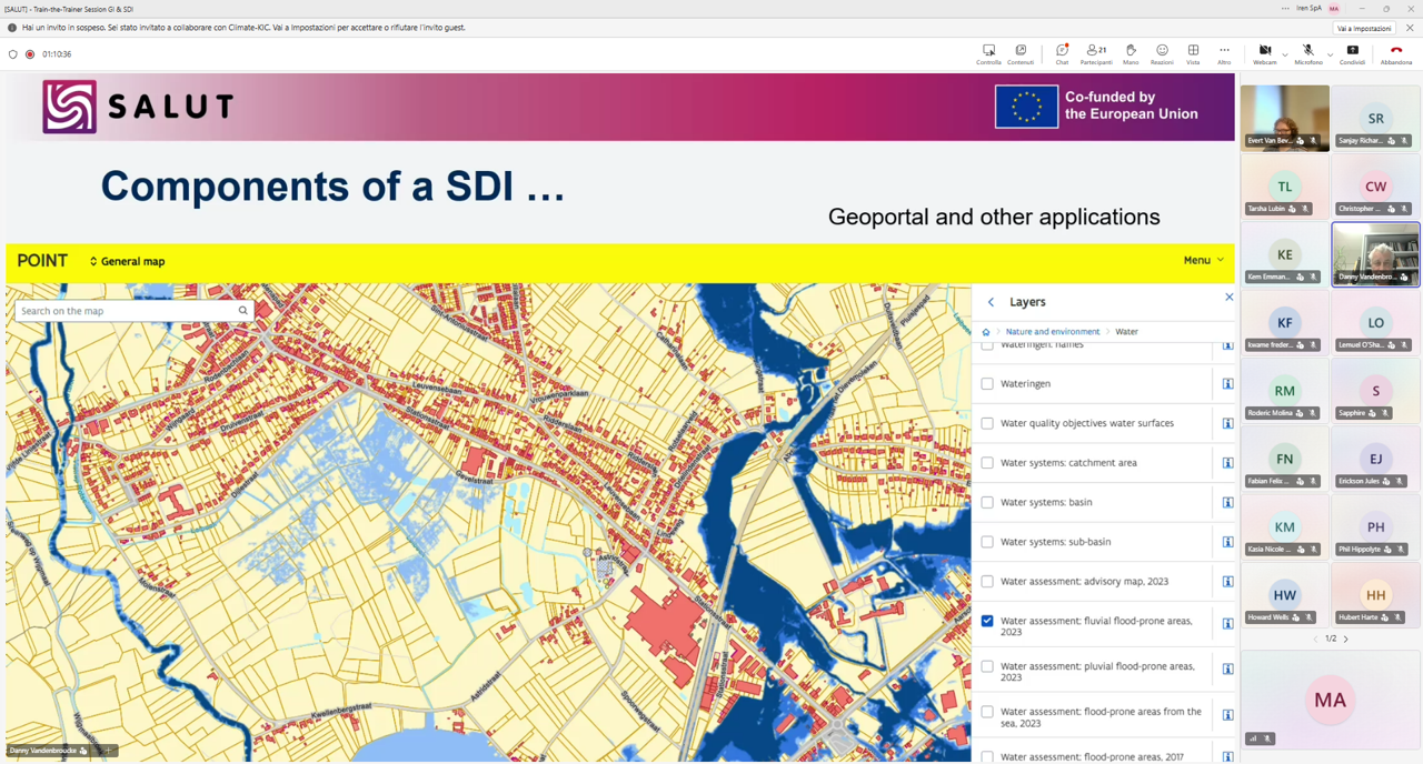
On 27 May 2026, the SALUT project organised an online training session dedicated to stakeholders and national institutions from Saint Lucia.
The session focused on the fundamentals of Geographic Information Systems (GIS) and provided an introduction to Spatial Data Infrastructures (SDI), including their main components and emerging trends towards Data Spaces.
Participants learned how geospatial technologies and interoperable data infrastructures can support more efficient environmental monitoring, planning, and decision-making processes.
This webinar is part of the broader capacity-building activities carried out within the SALUT project to strengthen technical knowledge and foster collaboration among local stakeholders and institutions.
A second training session, focused on Sensors and SWE (Sensor Web Enablement), will be organised in person during the project partners’ visit to Saint Lucia at the beginning of June.
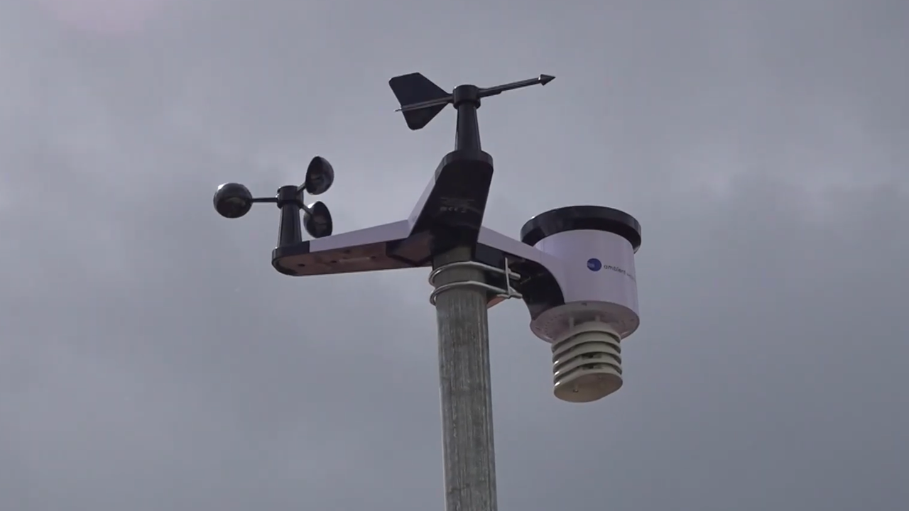
SALUT featured on Saint Lucia national TV as first weather station is installed.
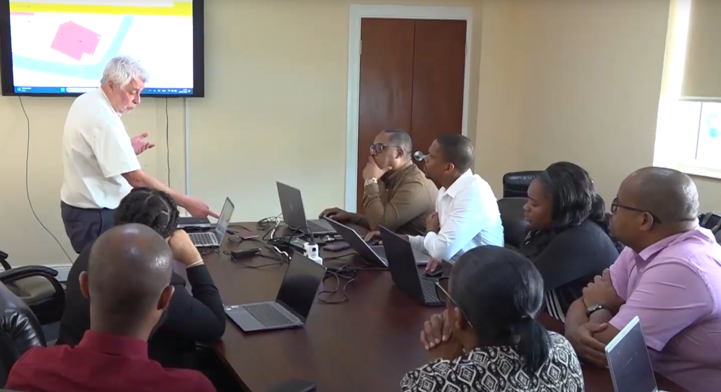
Consortium partners met in Saint Lucia (19–23 Jan 2026) to advance project activities and technical planning. Watch the video and read the press release.